This page presents a summary of our survey effort | Esta página apresenta um resumo do nosso esforço amostral | |
Where we worked and how much effort we used (e.g. kilometres walked) are important factors that determine the conclusions we can make from our results. | Onde trabalhamos e quanto esforço usamos (por exemplo a distancia percorrida) são fatores importantes que determinam as conclusões que podemos fazer a partir de nossos resultados. | |
The map below shows the areas where we worked: Intervales State Park (Google Earth map on the left) and Núcleo Caraguatatuba of the Serra do Mar State Park (Google Earth map to the right). | A mapa abaixo mostra as áreas onde nós trabalhamos: Parque Estadual Intervales (Google Earth mapa da esquerda) e Núcleo Caraguatatuba da Serra do Mar State Park (Google Earth mapa à direita). | |
The trails we walked are shown as yellow lines. | As trilhas usadas são mostradas como linhas amarelas. |

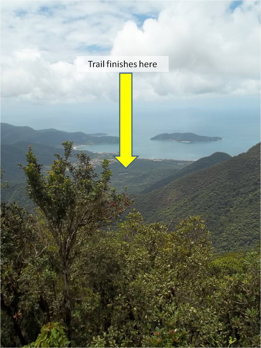
In the end we walked a total of 594 km in search of white-lipped peccaries and tapirs. By walking along different trails we also managed to obtain a representative survey of the different types of Atlantic Forest in both areas. To obtain this representative sample of the areas we had to walk “o’er vales and hills” and our surveys covered altitudes ranging from sea level to greater than 1000 m. | No final andamos um total de 594 km em busca de queixadas e antas. Caminhando por trilhas diferentes gerou um levantamento representativo dos diferentes tipos de Mata Atlântica presente em ambas as áreas. Tínhamos de caminhar " o’er vales and hills " para obter esta amostra representativa e os levantamentos abrangidos altitudes que variam do nível do mar até mais de 1000 m. |